Valiant Candle
Lake Powell 3D Topographic Map, Glen Canyon
Couldn't load pickup availability
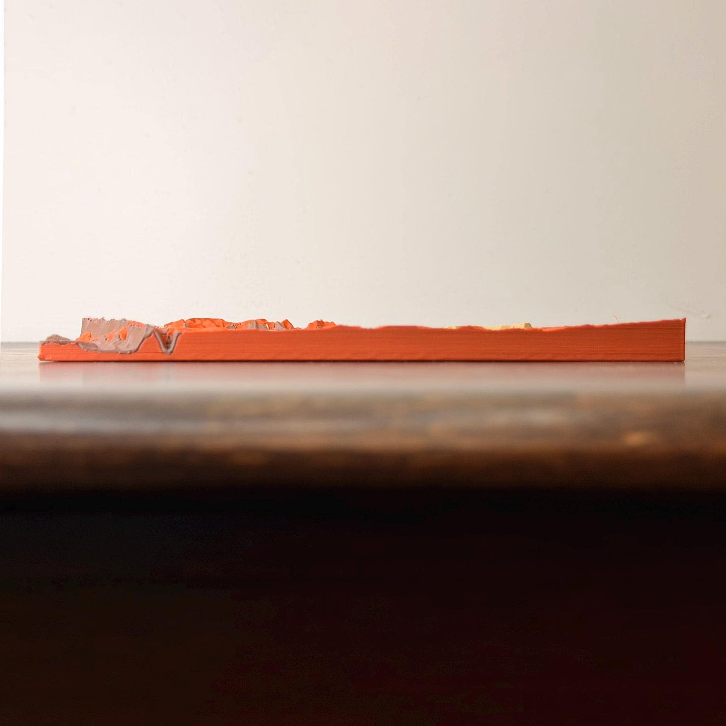
Lake Powell's bays and side canyons in relief, with the Colorado River winding away below. The water is printed in bright blue, set into red-orange slickrock, tan benches and cream cliffs, all stepped with fine contour lines. Made for anyone who has spent a week on a houseboat and wants to point to where they anchored.
What You Get
- One 3D-printed relief map, 7.5 × 7.5 in (19 cm) square, about 1/2 in thick at the base
- Multicolor matte PLA, printed layer by layer on our own printers in Utah
- Lightweight; stands on a shelf, lies flat on a desk, or fits an 8 × 8 in shadow box (frame not included)
Made To Order
Each map is printed after you order and ships in 5–7 business days, with tracking.
Want somewhere else? We make custom maps of any address, campus, cabin or mountain. Contact us.
Care: dust with a soft dry brush. Keep out of hot cars and direct sun; PLA softens above about 130°F.
Elevation: USGS 3DEP via AWS Terrain Tiles. Land cover: ESA WorldCover 2021, contains modified Copernicus Sentinel data.
Burning & care
Burning & care
Trim the wick to 1/4 inch before each burn. On the first burn, let the wax melt all the way to the edge of the jar (about 2 to 3 hours) so it does not tunnel.
Burn for no more than 4 hours at a time, on a heat-safe surface, away from drafts, pets and children. Stop when about 1/2 inch of wax remains.
Shipping & our guarantee
Shipping & our guarantee
Free US shipping on orders over $50. Orders usually ship within 3 to 5 business days by USPS.
Our guarantee: if you don't love your candle, email us within 60 days and we will send you a different scent or refund you, even if you have burned it.